
The NYCEDC retained a joint venture team for a $135 million project to improve access to the East River Waterfront, increase pedestrian connectivity, and produce major waterfront services. an ATANE-led survey team performed a land survey and prepared a topographic, right-of-way and utility base map of 2 miles of the waterfront.
State-of-the-art techniques included a primary control network tied to the borough of Manhattan datum; photo control targets established by GPS; aerial photogrammetry for aerial skeleton base mapping; a supplemental conventional survey under the FDR Drive; and vertical clearance under the FDR Drive measured by a reflectorless total station.
Challenges included an aggressive 15-week schedule. The project received an ACEC New York Platinum Award.
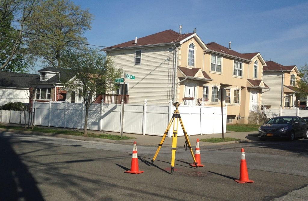
ATANE provided survey services at multiple locations in Brooklyn for a design services term contract with the New York City Department of Design and Construction. We performed complete topographic and utility surveys of the project areas, including manholes, catch basins, inlets and outlets, pipe materials, rim elevations and inverts and all street features. The topographic surveys located all permanent fixtures, along with other pertinent features of each project site. Specific assignments included: 17 intersections adjacent to four public schools; Flushing Avenue between Navy Street and Williamsburg Street; North Flatbush Avenue – Atlantic Yard Areas Streetscape; and the Brooklyn Children’s Museum Parking Lot.
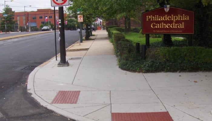
ATANE performed complete topographical, boundary and base plan preparation services for a City of Philadelphia $11 million design-build project involving the reconstruction of more than 2,750 curb ramps to bring them into compliance with the Americans with Disabilities Act. The project required ongoing coordination between the design team, the contractor and the City of Philadelphia to ensure a constant flow of deliverables for the contractor to maintain an aggressive construction schedule. Surveying crews worked off-peak hours to ensure safe, uninterrupted access to intersections.
ATANE used a variety of equipment, including robotic instruments, GPS units, laser levels, and conventional electronic instruments to perform detailed surveys of the various intersections. To expedite the delivery process and, where needed, ATANE transmitted information electronically using laptops and remote internet connections.

The Alpine Country Club is a full-service, family-focused club that offers a world-class championship 18-hole golf course, five tennis courts, a resort-style pool area with adult and children’s pools, a children’s playground, and a half basketball court.
ATANE performed a topographic survey of this sprawling 2.5-acre site in Bergen County, New Jersey. Our survey encompassed all topographic features, including buildings, walkways, roadways, curbs, utility castings, and other street furniture.
The horizontal locations and depths of underground communication lines, gas lines, sanitary sewer and water utilities were critical to the replacement and widening of the Swatara Creek Bridge for the Pennsylvania Turnpike Commission.
ATANE used a radiodetection cable and pipe locator (M-Scope) to confirm the markouts performed by the utility companies and ground penetrating radar to determine the approximate depths of the utilities at the proposed storm sewer location. Excavation was performed by air vacuum techniques, and the horizontal and vertical locations of the exposed utilities were obtained by traditional land survey methods.
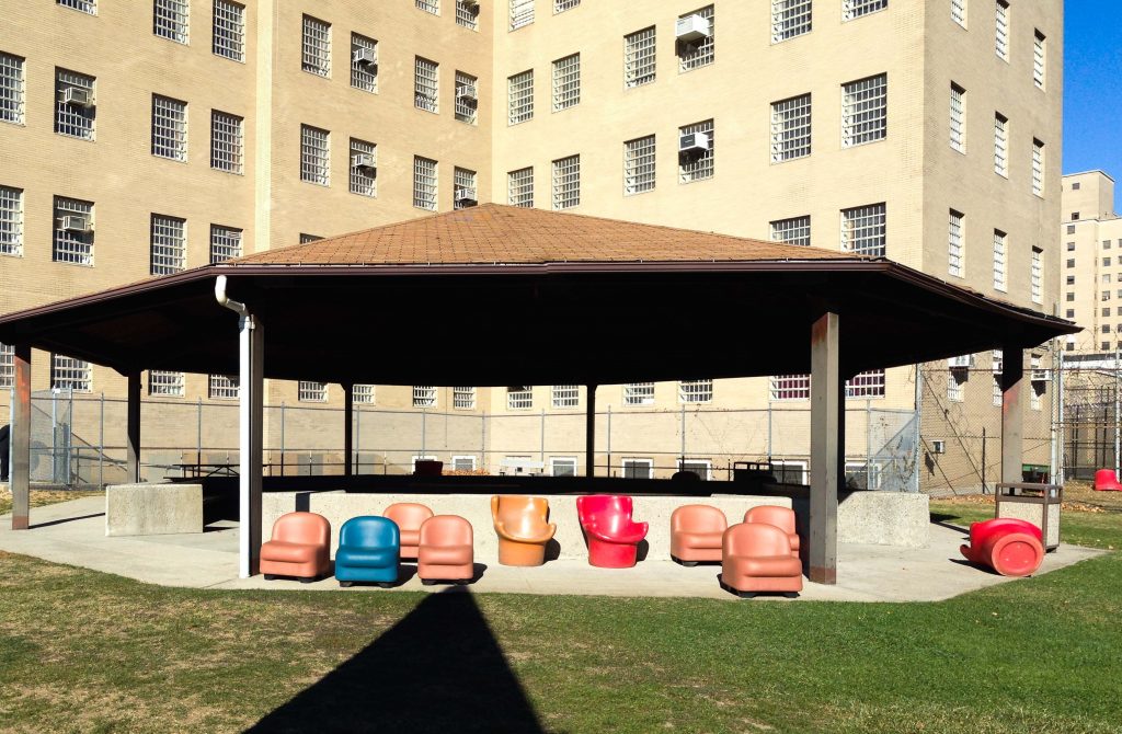
Kirby Forensic Psychiatric Center on Wards Island is a maximum security hospital of the New York State Office of Mental Health.
ATANE performed topographic and utility surveys of a portion of the center to accommodate construction of a new high-security fence and carefully locate utilities to mitigate any interference with the fence foundation. Subsurface utility engineering included electromagnetic detection of underground water, electric, and communication lines. We reviewed historical record utility drawings to compare with our findings. A composite utility plan was prepared denoting the results of the survey.
ATANE provided on-call surveying services to locate and designate subsurface utilities for the Port Authority of New York & New Jersey. Projects involved performance of underground utility designating and/or locating services at various facilities utilizing the following methods:
ATANE employed radio detection cable and pipe locators (M-Scope) and GPR instruments to perform utility designation and mark-outs. Conventional land surveying methods, including electronic total stations and survey-grade GPS instruments, were used to locate the utilities.

ATANE, as a team member, provided surveying, mapping and subsurface utility engineering to the Philadelphia Water Department to design and install rain gardens and green infrastructure at five sites to improve the quality of stormwater throughout the Tacony Park area and the city of Philadelphia.
The objective of the 15-acre project was to improve stormwater and groundwater pollution through several applications. It encompassed a survey and topography of the property, parking lot, building locations, applicable utilities, large specimen trees and site features that would impact the design.
The subsurface utility designation was performed using ground penetrating radar and radio detection equipment to identify possible utility conflicts with the proposed rain gardens.

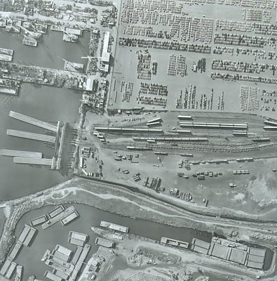
Much of the land area of Battery Park City—a 92-acre site just west of the World Trade Center—is composed of excavated material from the original site. Since the area has been subdivided and widely developed over time, its owner, the Battery Park City Authority, requested a complete survey of the individual parcels within the neighborhood.
ATANE researched the original boundary lines as well as the lot lines, lease lines, and easements affecting the properties and designed a web-based geographic information system to make the maps accessible to the owner through a graphic interface. The maps are searchable, layered with detailed information on each parcel, and linked to an array of supporting documents for review.
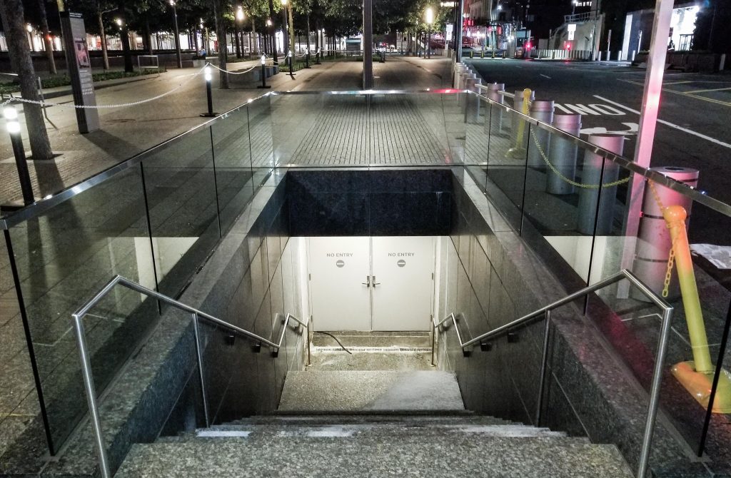
New York State’s first Women’s Building, scheduled for completion in 2020, will unite more than a dozen women-focused organizations in a 100,000-square-foot space at 550 West 20th Street. The new space will house events and programs, anticipated community spaces such as a female adolescent wellness clinic and public atrium, a ground-floor International Women’s Art Gallery and restaurant, and commercial tenants in technology and creative-focused industries. The plan for the building preserves its historic façade and keeps within the general zoning character of the special West Chelsea District.
ATANE is performing 3D laser scanning and topographical, boundary and utility surveys.
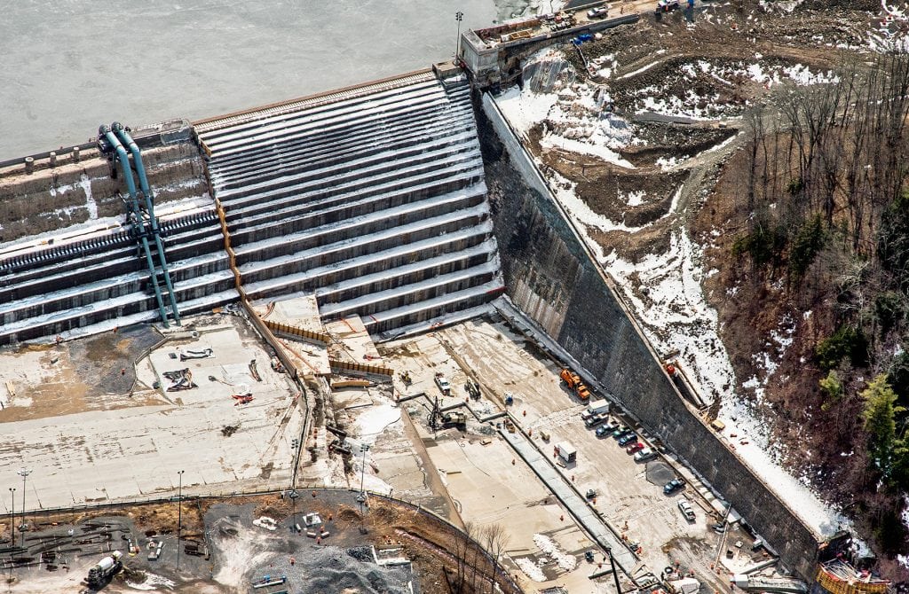
ATANE is performing land surveying operations to support an ATANE-led construction management joint venture for the reconstruction of the Gilboa Dam in the northern Catskill Mountains. The NYCDEP initiated an overall $400 million project to extend the life of the dam and bring it into compliance with NYSDEC safety standards.
Services include:
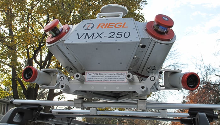
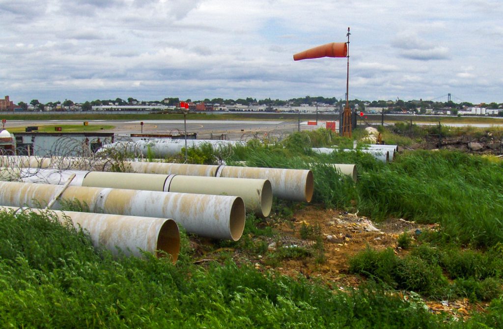
ATANE employed Mobile LiDAR to collect data for a 5-mile corridor on Johnson Avenue in Suffolk County as part of a project to design a new force main in the roadway. Collecting points with the scanner enabled our team to accurately map the topography of the corridor and the intersecting streets, including curb lines, buildings, trees, street lighting, traffic signals and overhead wires. We employed electromagnetic locators and ground penetrating radar to detect and mark the location of underground utilities in the road bed. We used GPS to establish primary horizontal and vertical survey control.
ATANE performed a detailed survey of 19 pedestrian ramps up to 96 feet in length at the National September 11 Memorial Museum at the World Trade Center complex to ensure that their size and slope complied with Americans with Disabilities Act specifications. The ramps, which direct visitors through the museum, are prominent architectural features with custom metal panels. The multiple shapes, planes, angles, and scale of the panels combine to accentuate the enormity of the tragic event.
Our work, which utilized a phase-based scanner to enable mapping of the entire ramps and to calculate the slope in many locations, was conducted at night so as not to interfere with pedestrian traffic.
As lead surveyor, ATANE provided various surveying and mapping services in support of an environmental impact statement for freight tunneling under the Hudson River between New Jersey, Staten Island and Brooklyn to accommodate high-capacity freight trains carrying double stack and multiple loads from New Jersey to Brooklyn and from Brooklyn to Queens via the Bay Ridge Branch of the LIRR.
We also provided survey support services for the topographic plan and clearance study of 61 existing bridges along proposed project alignments. Horizontal and vertical clearances, as well as existing railroad track survey data, were obtained using conventional surveying techniques to ensure accuracy.
Project borings on land and within the Harbor (underwater) limits were precisely located by utilizing GPS and conventional surveying techniques.
The $5 billion project received the prestigious ACEC New York Diamond Award.
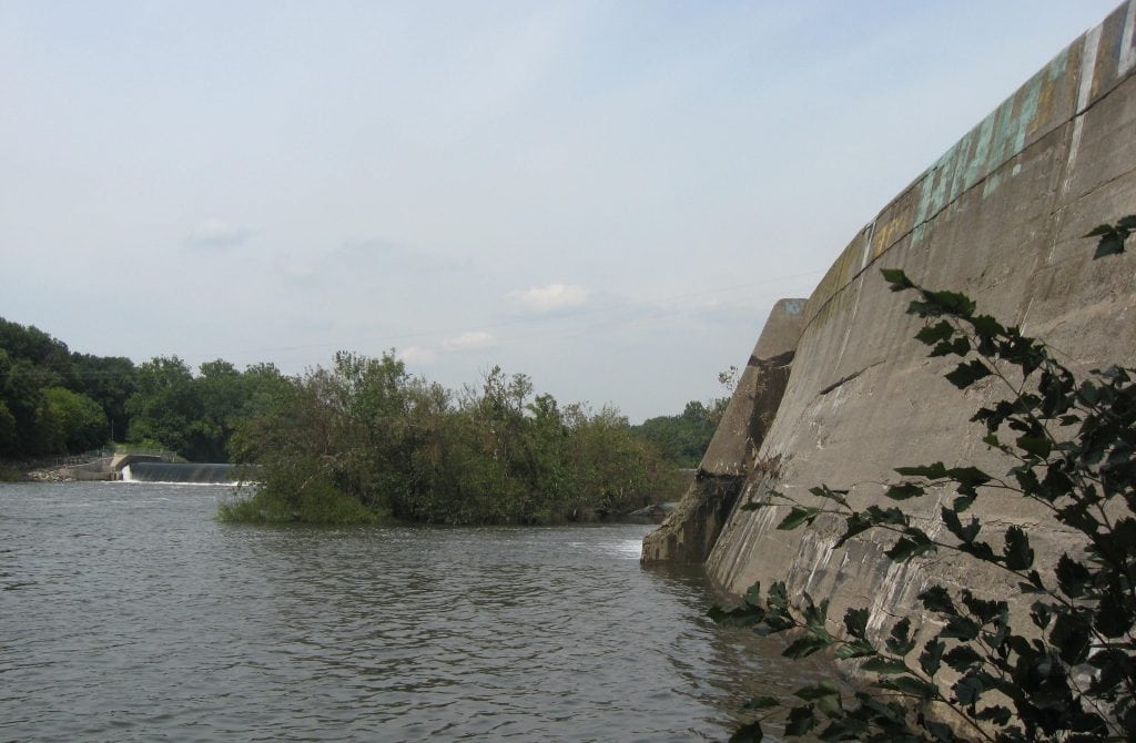
ATANE, as a team member, performed land surveys for the Manayunk Canal at the Flat Rock Dam on the Schuylkill River for the Philadelphia Water Department, which commissioned the project for design of proposed canal inlet improvements located in the Manayunk section of the city. The project site covers approximately 8 acres and consists of the mainstream channel of the Manayunk Canal downstream of the dam. The canal inlet gate control structure and canal lock were included within the survey limits.
ATANE used Leica 1230 GPS survey-grade equipment and conventional total stations to establish horizontal and vertical control. GPS observations were post-processed using the latest Leica LGO software. Additional control points were set for future construction of the site on a closed traverse and bench loop.
As a member of the team providing services for the Restore Corridors beautification project, ATANE performed horizontal and vertical mapping of 53 total city blocks equal to 31,800 linear feet of city roadway mapping. A critical component of the project was to ensure that commuters were not negatively impacted and that the safety of all workers and pedestrians was maintained.
The project involved all existing features within the right-of-way for all assigned corridors, including curbs, sidewalks, utilities, lighting, signs and other features scheduled for improvement and reconstruction. ATANE employed state-of-the-art GPS surveying grade instruments along with conventional robotic total station instruments.
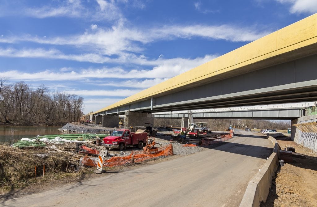
ATANE provided land surveying services to the Pennsylvania Turnpike Commission to obtain existing topography surrounding the proposed rehabilitation/replacement of EB-103, the bridge carrying the turnpike over the Norfolk Southern Railroad in Middlesex Township.
We used Leica 1230 GPS survey-grade equipment and conventional total station to establish horizontal control working from the existing turnpike baseline. GPS observations were post-processed using the latest Leica LGO software. Additional control points were set for future construction of the site on a closed traverse and bench loop using a Topcon digital level.
To eliminate the need for any lane closure, a Leica 3D laser scanner was used to generate point cloud data of the existing mainline turnpike. QA/QC procedures were performed to ensure the accuracy of the scanner using reflectorless surveying instruments.